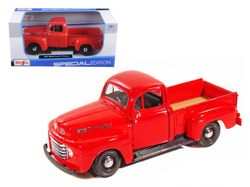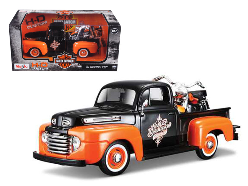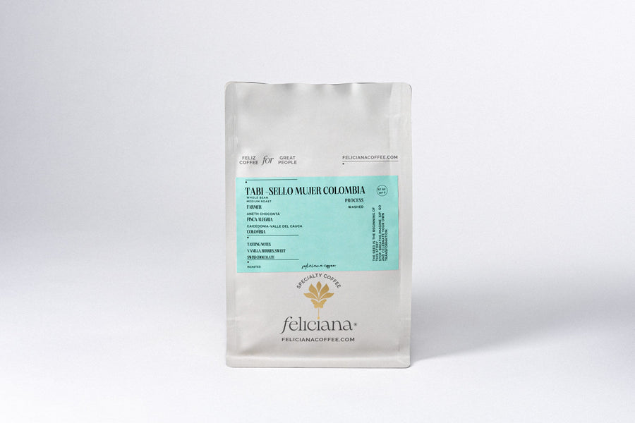


Furuno Gulf of Mexico, Great Lakes Rivers - Vector Chart Standard Resolution Satellite Photos f/Part of the Great Lakes - Unlock Code [MM3-VNA-023]
![Furuno Gulf of Mexico, Great Lakes Rivers - Vector Chart Standard Resolution Satellite Photos f/Part of the Great Lakes - Unlock Code [MM3-VNA-023]](http://cyclonesale.com/cdn/shop/files/72869XL.jpg?v=1732321692&width=1080)
We are USA based. Every day is Cyber Monday!
We are USA based. Every day is Cyber Monday!
Shop the Cyclone and Blow the Roof off Sales and Save!!
Shop the Cyclone and Blow the Roof off Sales and Save!! Use Coupon Code Cyclone Power on Furniture over 300.00
Watch for the latest Cyclone Sale to hit and save big.
Watch for the latest Cyclone Sale to hit the store and save a big percentage off.


Gulf of Mexico, Great Lakes & Rivers - Vector Chart & Standard Resolution Satellite Photos for Part of the Great Lakes - Unlock Code
**SYSTEM ID REQUIRED TO RECEIVE UNLOCK CODE**
C-MAP Wide Chart - Gulf of Mexico, Great Lakes & Rivers. Vector charts & standard resolution satellite photos for part of the Great Lakes.
This Chart Pack includes vector charts for Gulf of Mexico, Great Lakes, and Rivers, plus standard resolution satellite photography for part of the Great Lakes. C-MAP chart data is used and converted to the TimeZero format.
These C-MAP charts are comprised of the same cartographic chart information found in C-MAP MAX and C-MAP MAX PRO charts.
To purchase this chart pack for NavNet 3D, TZT or TZT2, you will need to provide your NavNet system ID to your local authorized Furuno dealer. The system ID can be located under the “My NavNet” menu.
 WARNING: This product can expose you to chemicals which are known to the State of California to cause cancer, birth defects or other reproductive harm. For more information go to P65Warnings.ca.gov.
Orders are usually shipped the same day or the next business day depending on the time cut off and product category. Review our shipping policies and size guides for answers to common questions.
Sign Up Now and Save
Subscribe to get special offers, free giveaways, newsletters and once-in-a-lifetime deals.
Subscribe today to hear first about our flash sales